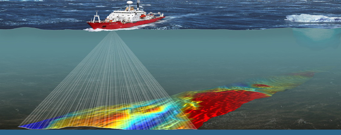
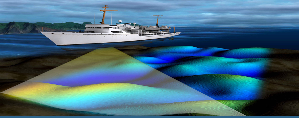
Hydrographic survey according to IHO standard.Coastline delineation.
- Coastline delineation.
- Inland survey for coastline and onshore features such as (buildings,minarets, Navaids, masts, roads, benchmarks…etc).
- Positioning of Navaids (Buoys, Beacon…etc).
- Performing transit sensitivity calculations for transit line designs.
- Port and route survey maintenance.
- Hydrographic studies.
- Hydrographic survey and production of Nautical chart.
- Offshore soil sampling.
- Heights and leveling.
- Tide predictions.
- Geodetic calculations and coordinates conversions.
- Digitizing and Geo Reference of all types of survey images in all formats.
- Dredging calculation.
- Survey data Post processing.


